![]()
![]()
Map For Boating In Missouri
This site is FOR SALE. Use Contact Us for inquiries.
By AA-Boats & Boating Staff Writers
There are many places to go boating in Missouri


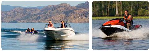
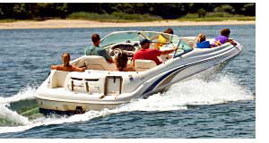 Boating opportunities abound in Missouri. There are lakes and rivers for large craft and smaller streams and ponds for smaller vessels. Some allow power boats, others only allow electric motors, each providing a unique experience. Fishing and other watersports are available at most boating lakes throughout the state - depending on time of year and state-defined seasons.
Atkinson Lake is a 450-acre lake in the west-central part of the state.
Bean Lake is a 400-acre oxbow in the northwest part of the state.
Big Lake is a 646-acre oxbow lake in the northwest part of MO.
Blue Springs Lake is a 720 acre lake located in west-central MO.
Bull Shoals Lake is a 71,000-acre lake on the Missouri-Arkansas border.
Clearwater Lake is 1,630-acre lake in the southeast corner of the state.
Council Bluff Lake is a 444-acre lake in the southeast part of MO.
Fellows Lake is an 860-acre lake in the southwest corner of the state.
Forest Lake is a 570-acre lake in the northeast corner of the state.
Lake Jacomo is a 970-acre freshwater reservoir in northwest MO.
Lake of The Ozarks is a 57,000-acre lake in the central part of the state.
Lake Springfield is a 318-acre lake in the southwest corner of the state.
Lake Taneycomo is approximately 2,000 acres, located in southwest MO.
Lake Wappapello is an 8,400-acre lake in southeast MO.
Longview Lake is a 930-acre freshwater reservoir in central MO.
Mark Twain Lake is an 18,000-acre lake in the northeast corner of MO.
McDaniel Lake is a 300-acre lake in the southwest part of the state
Montrose Lake is a 1,500-acre lake in west-central MO.
Pomme de Terre Lake is a 7,800-acre lake in the southwest part of MO.
Smithville Reservoir is a 7,200-acre lake in the northwest corner of MO.
Stockton Lake is a 25,000-acre lake in the southwest part of the state.
Table Rock Lake is a 43,000-acre lake in the southwest part of the state.
Thomas Hill Reservoir is a 4,500-acre lake in northeast MO.
Truman Reservoir is a 55,600-acre reservoir in southwest MO.
Use the map below to locate lakes and rivers nearby major cities including Independence, Kansas City, Lees Summit, Marshall, St Joseph, Bowling Green, Chesterfield, Columbia, Paris, St Louis, Bolivar, Branson, Clinton, Joplin, Springfield, Farmington, Kennett, Piedmont, Poplar Bluff and Rolla.
Use the navigation and zoom arrows to locate your area of interest in Missouri. Once you locate a specific area or city, zoom in closer and make note of bodies of water nearby. The scale on the map allows you to determine the length and width of the waterway and define its potential usability for boating with your particular watercraft. Always check with local water authorities for current lake levels.
Lakes and rivers in Missouri
Some of the lakes in Missouri include Blue Springs Lake, Lake Jacomo, Lake Lotawana, Lake Viking, Smithville Reservoir, Canyon Lake, Lake St Louis, Long Branch Lake, Mark Twain Lake, Thomas Hill Reservoir, Harry S. Truman Reservoir, Lake of The Ozarks, Pomme de Terre Lake, Stockton Lake, Table Rock Lake, Lake Tishomingo, Leadwood Tailings Pond, Swan Pond, St Joe Lake and Wappapello Lake.
Navigable rivers include Grand River, Platte River, Cuivre River, Salt River, James River, Sac River, Current River and Francis River.
Maps for boating in other states.
Alabama
Arizona
Arkansas
California
Colorado
Connecticut
Delaware
Washington DC
Florida
Georgia
Hawaii
Idaho
Illinois
Indiana
Iowa
Kansas